Scaled Observations for Atmospheric Resilience (SOAR)™


The atmosphere is a domain of critical importance for public safety, economic competitiveness and global security. Large gaps in satellite and surface-based observations limit our ability to improve projections, monitor and regulate activity in the atmosphere, protect local communities and enable our industries for the future. Leveraging commercial ships and aircraft in innovative public-private partnerships, we can rapidly scale a dynamic global atmosphere sensing network to support science and innovation for a safe and secure future.
SOAR is a collaborative partnership under SilverLining's Cooperative Research and Development Agreement (CRADA) with NOAA, working with academic, public sector and industry partners to analyze scientific requirements, advance sensing technology and develop global reference networks of observations of gases and aerosols in the atmosphere.

Leveraging Commercial Platforms for Transformational Scale
Announcing first at-sea deployment of aerosol sensing package
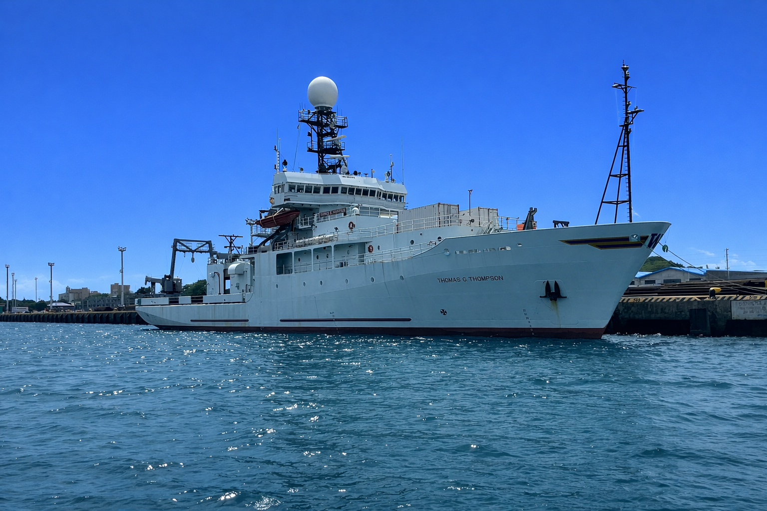
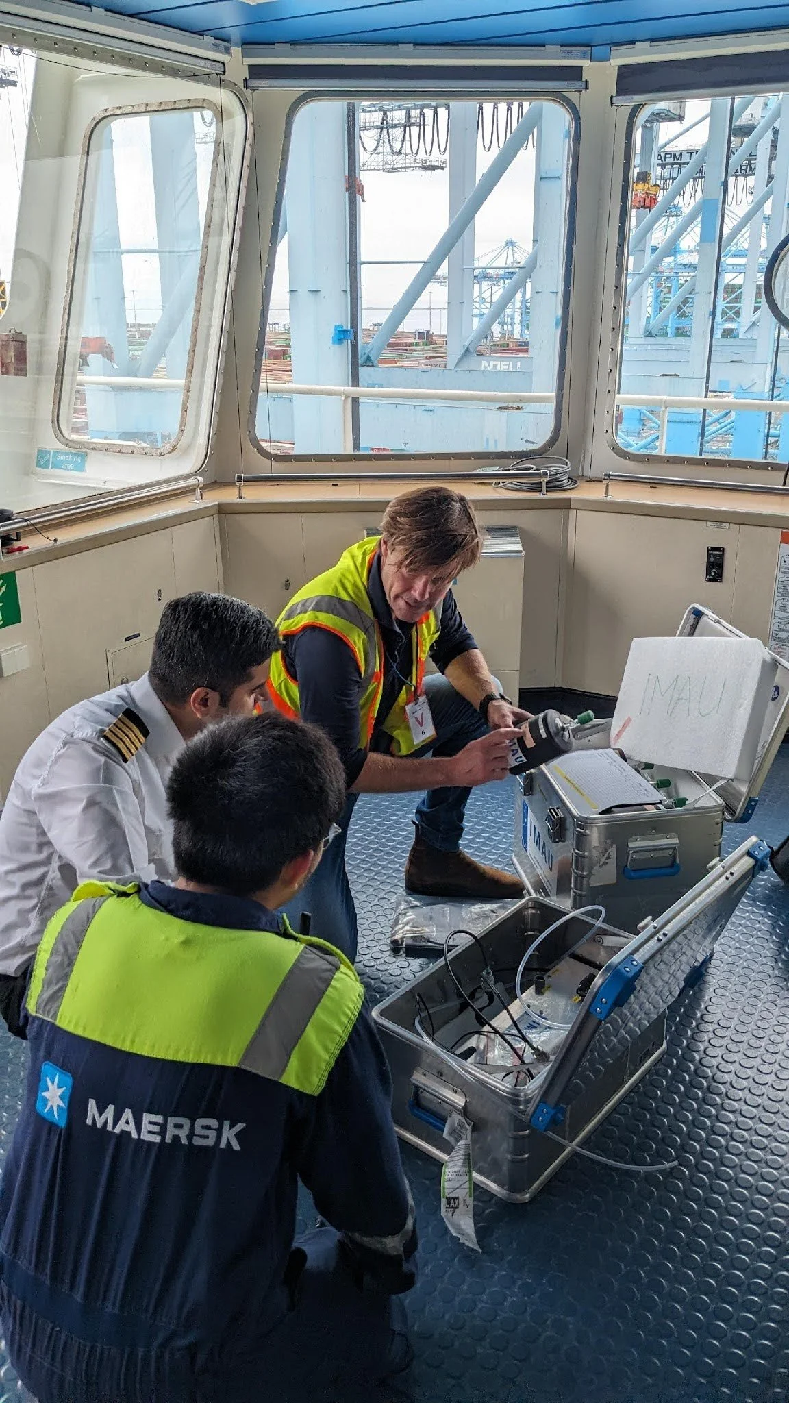
Through the SOAR-MARINE initiative, with support of the University of Washington and the Fund for Science and Technology (FFST), the first ship-borne aerosol package has been deployed at sea, demonstrating a scalable approach to expanding atmospheric observations across the global ocean and reducing critical gaps in data. Hear from Sarah Schubert on the significance of this field study below.
SOAR: Aircraft of Opportunity

In collaboration with the National Oceanic and Atmospheric Administration (NOAA), SOAR-AIR™ aims to rapidly build a network of advanced observations of the atmosphere installed on commercial aircraft. Traversing continuously from the Earth’s surface to the upper atmosphere, aircraft platforms could provide high quality data to AI, models and other tools to improve aviation, transform weather forecasting, climate projection and sourcing gas emissions and fluxes from the surface of the Earth, including feedbacks from natural systems, as well as urban, industrial and other sources. These reference-grade measurements could also enhance the power of satellite images, providing exponential value in improving atmospheric data.
In 2021, NOAA installed a package of sophisticated greenhouse gas and atmosphere observing instruments on the Alaska Airlines Boeing Ecodemonstrator. In 2024, NOAA and United Airlines announced a partnership to deploy a greenhouse gas instrument on a Boeing 737 as a step toward an expanded network of observations on United planes. Through dynamic public-private collaboration, NOAA, SilverLining and other partners and collaborators are developing technology, operations and sustainable funding for a scaled network of observations on aircraft of opportunity.
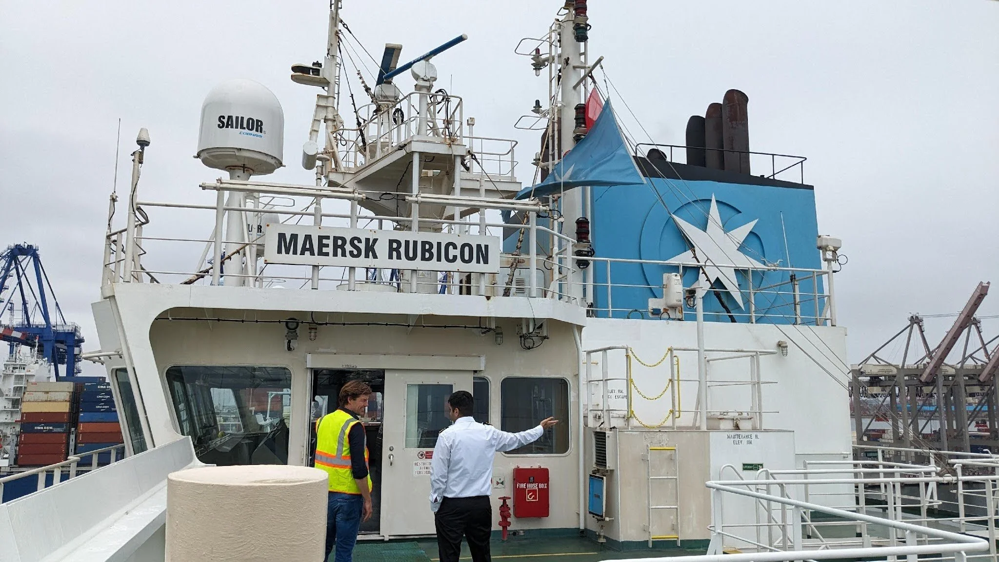
SOAR: Ships of Opportunity
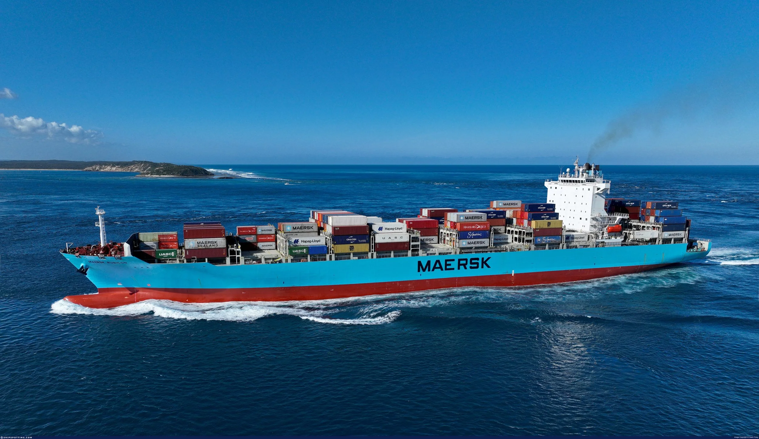
Today, society lacks the data required to adequately monitor and predict atmosphere, climate and earth system changes and to develop and evaluate solutions, notably in the features of the atmosphere that cannot be fully captured by satellites and must be gathered from within the atmosphere.The greatest gaps in these powerful ‘in-situ’ observations are over the global oceans. SOAR-MARINE™ leverages NOAA’s world leading instrument and scientific capabilities in an innovative public-private-philanthropic partnership with University of Washington, Maersk and OceansX to build a global network of marine atmospheric observations on commercial ships within a few years.
SOAR-MARINE will expand coverage of the marine atmosphere, particularly of remote and sensitive regions, to address some of the largest uncertainties in the projections of weather and long term Earth systems, mainly the influence of aerosols on clouds. Building on NOAA’s various research efforts in weather and ocean observations on ships of opportunity, SilverLining partnered to pilot advanced atmosphere observing instruments - gas and aerosol observations - on Maersk ships and to develop a scaled and sustained network.
Early pilots provide operational insight & valuable science data:

The Maersk San Marco is making ions crucial for understanding aerosol impacts on the Earth system, particularly over the equatorial ocean, a region that is not well observed but where aerosol interactions significantly affect dynamics. This data helps validate satellite measurements and improves aerosol transport models, which are essential for assessing Earth's energy balance.
The Maersk Rubicon is taking reference measurements of GHGs in the tropical Pacific, the least-observed region in the world for in situ gas concentrations. This data will be made available to scientific researchers worldwide via NOAA.
The Smyril Mykines is capturing critical data from the Sundhnúkur volcanic plume, a natural experiment that will improve understanding of the impacts of aerosols on the Earth system. Open access to this data via NASA’s Maritime Aerosol Network can improve global Earth system modeling.
Our Collaborators
A growing network of institutions and collaborators is advancing SOAR. Our collaborative ecosystem includes the scientific user community, which collaboratively drives the definition and development of the data, instruments, network design and products. The private commercial sector provides Platforms of Opportunity operationalization, logistics and compliance, to turn science priorities into operational capabilities. Partnerships with public sector agencies provide critical instrument development capabilities, data streams and ultimately, users of the information SOAR generates while keeping America at the forefront of atmospheric monitoring technology.
Collaborators:
National Oceanic and Atmospheric Administration, National Aeronautics and Space Administration, University of Washington, Brookhaven National Laboratory, OceansX, MAERSK and Smyril Line.
Media
-
![View from an airplane window showing snow-capped mountains, clouds, and a river or lake below, with the airplane wing visible on the right.]()
NOAA and United Airlines partner to measure gases, pollutants with high-tech flight instruments
Press Release, July 2024
-
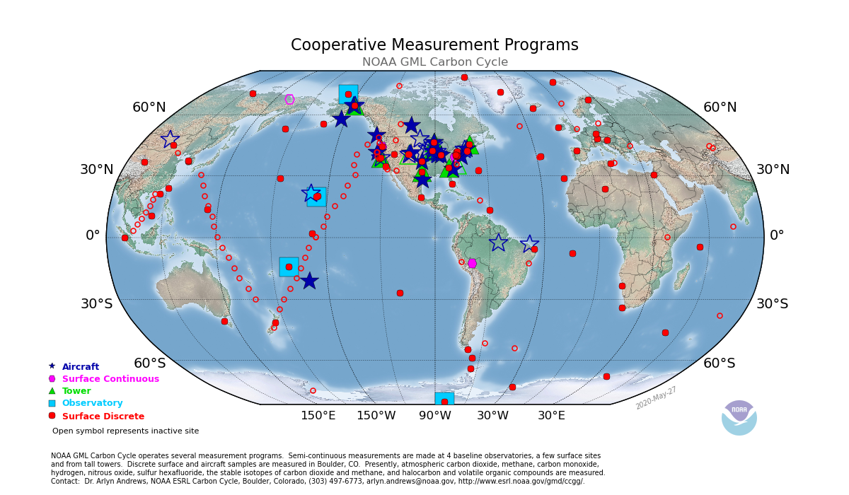
![World map showing NOAA GML Carbon Cycle measurement programs with various symbols representing aircraft, surface continuous, tower, observatory, and surface discrete sites, with NOAA logo at bottom right.]()
NOAA: Global Greenhouse Gas Reference Network
Website
-
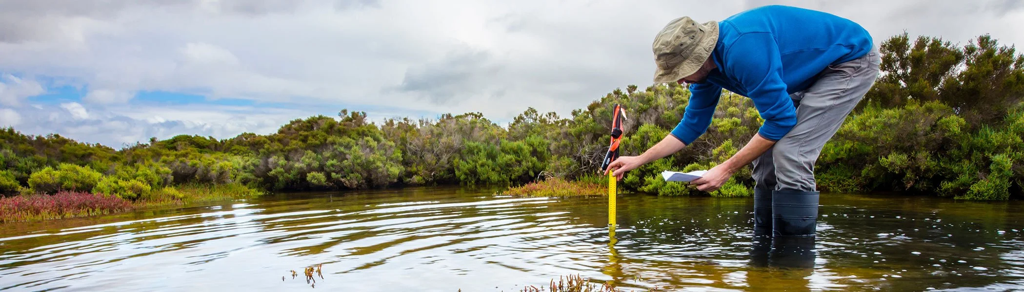
![A person wearing a beige hat, blue shirt, gray pants, and black boots leaning over a riverbank, taking measurements with a yellow measuring tape and holding a clipboard under a cloudy sky.]()
International Monetary Fund: Bridging Data Gaps Can Help Tackle the Crisis
Article, November 2022